

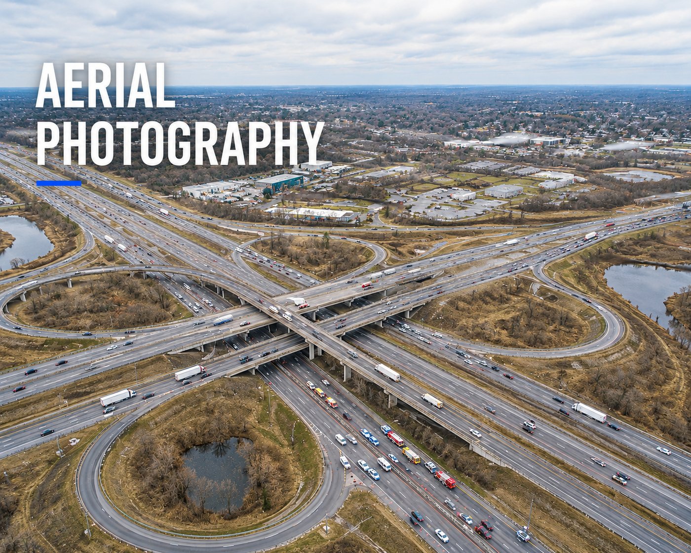
We are certified by the Federal Aviation Administration (FAA) to fly unmanned aerial vehicles (UAVs) and drones. This can be a useful tool for traffic studies, forensic mapping, scene scanning, and many other projects. We have the capabilities to capture high resolution photographs and videos from various perspectives.